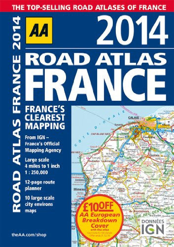
Cover may vary - this is a stock image
AA Road Atlas France (International Road Atlases)
Low stock: 1 left
Fully revised and updated for 2014, this specialist A4 road atlas designed for the British motorist in France includes 32 city center plans to help you find your way in and around busy centers. There is a 12-page route planner, 10 large scale environs maps, over 18,500 tourist sites shown on the mapping, and French place names are used to match local road signs. Road mapping for Corsica is included, plus 10 district maps including Paris, Lyon, Marseille, Lille, Toulouse, and Bordeaux. The atlas legend is in English, French, Spanish, Italian, German, and Dutch.
Format: Spiral-Bound
Published: 2013
Pages: 320
Publisher: Automobile Association
ISBN: 9780749575281
Share
Payment method
Condition Descriptions
Our conditions mean the following:
- New - a brand new book
- Almost New - appears new but is actually secondhand.
- Very Good - only minor imperfections such as minor scuffs to edge or cover or price price written in pencil or shop sticker.
- Standard Secondhand - Clearly been read before, but not too bad. We do not recommend these for gifting. Spines usually creased. Could also include creases or folds to cover, some writing such as in the cover or elsewhere, underlining or highlighting, but might not do. Possibly some stains or marks. Similar in general to books in any secondhand shop or charity shop.
- Poor Condition - Usually this will have a specific problem such as writing inside, water damage, missing dust jacket, heavy staining, large creases or cuts. These are readable copies but not nice ones. On other websites this condition is called 'Acceptable' or 'Fair' , but we want to be more honest.
Shipping and Delivery
- Free UK shipping over £10.
- Under £10, shipping is £1.99.
- Express shipping £2.99.
- Choose 10 £1 books for £10 including shipping!
- International shipping available to select countries, proceed to checkout to see prices.
Return
Return books within 14 days if not happy.
Share