


Cover may vary - this is a stock image
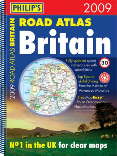
Philip's Road Atlas BritainSpiral A3 (Road Atlases)
Format: Spiral-bound
What do the conditions mean?
Our conditions mean the following:
- New - a brand new book
- Almost New - appears new but is actually secondhand.
- Very Good - only minor imperfections such as minor scuffs to edge or cover or a price written in pencil or shop sticker.
- Standard Secondhand - Clearly been read before, but not too bad. We do not recommend these for gifting. Spines usually creased. Could also include creases or folds to cover, some writing such as in the cover or elsewhere, underlining or highlighting, but might not do. Possibly some stains or marks. Similar in general to books in any secondhand shop or charity shop.
- Poor Condition - Usually this will have a specific problem such as writing inside, water damage, missing dust jacket, heavy staining, large creases or cuts. These are readable copies but not nice ones. On other websites this condition is called 'Acceptable' or 'Fair' , but we want to be more honest.
Low stock: 1 left
Philip's Road Atlas Britain 2009 (A3) contains 96 pages of road maps covering Britain at 3 miles to 1 inch (Scottish Highlands and Western Isles at 4 miles to 1 inch, Orkney and Shetland at 5.25 miles to 1 inch). The maps clearly mark service areas, roundabouts and multi-level junctions, and in rural areas distinguish between roads over and under 4 metres wide - a boon for drivers of wide vehicles.Across the Channel, a full-page map shows Calais and Boulogne, and a double-page map shows the full extent of the northern French coast including all ferry ports.The atlas also includes route-planning maps, M25 and M60 maps, full listings of mobile speed-camera sites, distance table, 12 large-scale city approach maps with named arterial roads, and 63 extra-detailed town and city plans, airport plans and port plans.


Author: Philip's Maps (all their books in stock)
Genre: Reference, Atlases, Gazetteers & Maps
Format: Paperback
Published: 2008
Pages: 184
Publisher: Octopus Publishing Group
ISBN: 9780540093014
Payment method
Condition Descriptions
Our conditions mean the following:
- New - a brand new book
- Almost New - appears new but is actually secondhand.
- Very Good - only minor imperfections such as minor scuffs to edge or cover or a price written in pencil or shop sticker.
- Standard Secondhand - Clearly been read before, but not too bad. We do not recommend these for gifting. Spines usually creased. Could also include creases or folds to cover, some writing such as in the cover or elsewhere, underlining or highlighting, but might not do. Possibly some stains or marks. Similar in general to books in any secondhand shop or charity shop.
- Poor Condition - Usually this will have a specific problem such as writing inside, water damage, missing dust jacket, heavy staining, large creases or cuts. These are readable copies but not nice ones. On other websites this condition is called 'Acceptable' or 'Fair' , but we want to be more honest.
Shipping and Delivery
- Free UK shipping over £10.
- Under £10, shipping is £1.99.
- Express shipping £2.99.
- Choose 10 £1 books for £10 including shipping!
- International shipping available to select countries, proceed to checkout to see prices.
Return
Return books within 14 days if not happy.
More £1 travel books
All £1 books →-

-

-
-

Traditional English Gardens: No 7 (Country S.)
£1.00£1.00 -
-


